Toby Bellwood | 09 Aug 2016
Today we released an update of the Australian Government’s NationalMap website, bringing a brand new look and feel to the service.
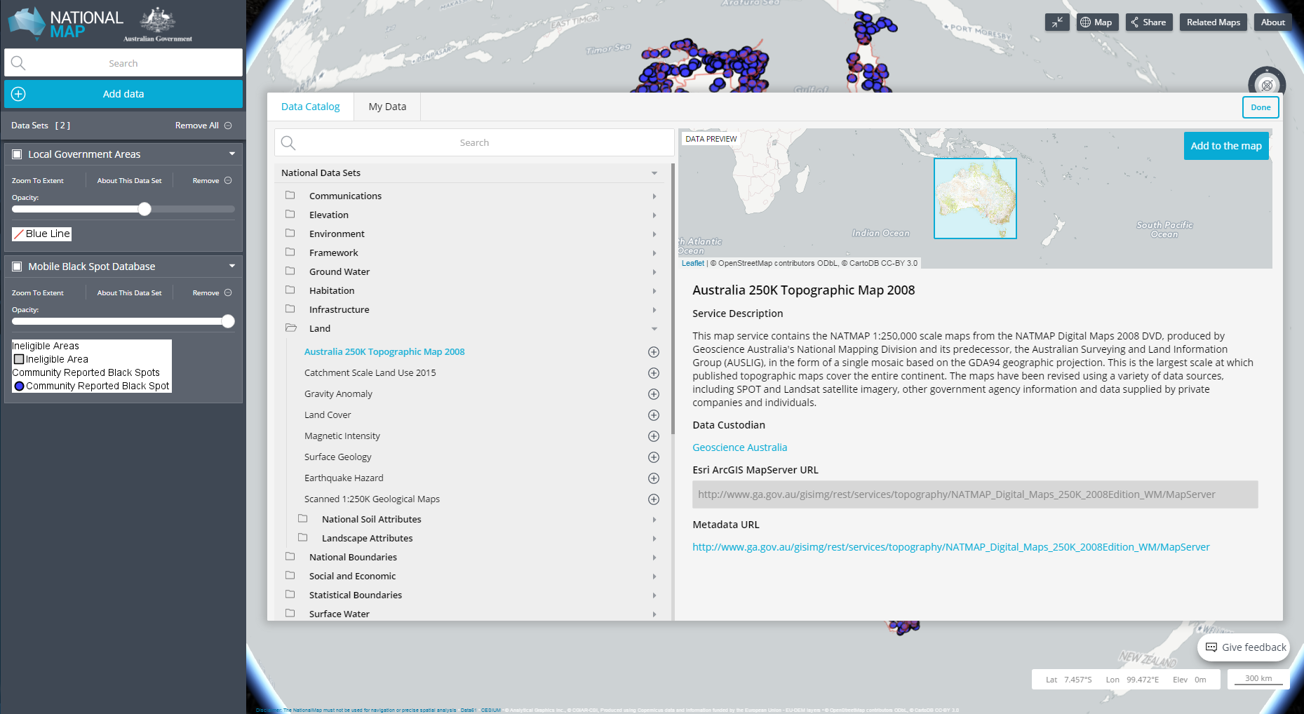
For those of our readers unfamiliar with NationalMap, it is a website that gives users map-based access to data that has been spatially referenced from Australian government agencies. When users access data through the service, they are typically accessing the data directly from the government department or agency which is the custodian of that data.
This release of NationalMap includes a number of improvements, not only to the look and feel. It also adds significant functionality under the hood. The website is more mobile-friendly and works better across more web browsers. There is also the notable inclusion of G-NAF as a location search provider, following from the release of Open G-NAF in February this year.
The full details of the changes can be found here.
We will be hosting a forum on 1 September that will provide data publishers and professionals in Government with an opportunity to use and better understand the new NationalMap functionality and key features. If you would like to attend, please email us at data@pmc.gov.au.
We’d like to express our thanks to all of you who cast your eyes over the preview in June. Your feedback has been invaluable in helping to inform the ongoing development of NationalMap. We are keeping the feedback button in place, as it provides the most direct opportunity for us to capture comments (and criticisms) from users of NationalMap